Google Maps update brings ride-sharing and biking to transit directions
Google Maps has been offering public transport directions for quite some time, and also has Uber feature at some cities where the ride-sharing service is available. Now, the company is adding them together, along with biking services.
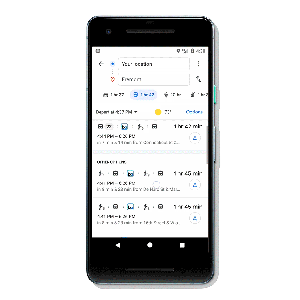
The feature works pretty much as you expect - enter your destination, select the Transit tab and you’ll automatically see the cycling and ridesharing options if the walk from the bus stop/station is a bit too much.
You’ll also have the regular info like how much time would it take, how much will it cost and you can also set preferences for your favorite rideshare provider. There’s an even bigger incentive if you plan to ride a bike - the routes will be tailored to cyclists, adapting to actual roads with dedicated lanes.
The paired transit directions will start rolling out in the coming weeks both to Android and iOS devices in 30 countries around the globe.
Related


Reader comments
- Kuzmanow
- 29 Aug 2019
- xJM
Is that weird? With us / Eastern Europe 🙄 / everything is fine - there are regular updates for repairs, new roads, changes in infrastructure and more. Personally my notes, objects and photos are published - with a little delay ☺.
- ZloiYuri
- 28 Aug 2019
- gya
Google maps are the worse maps now. Two years at least without any map update. You can't fix any outdated or add missing information because it's automatically declined without any reason (before they checked information and added it).


 Huawei
 Samsung
 Samsung
 Apple
Apple Xiaomi