Google Maps now has COVID layer for safer navigation

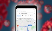
COVID-19 is becoming a part of our daily lives, and traveling is one of the areas it affects the most. That’s why Google is introducing a new layer for its Maps platform on mobile devices - one giving essential information about the rate of infections.
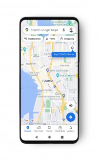
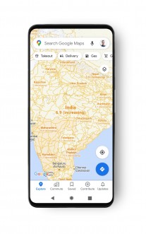
Google Maps interface with COVID-19 Info
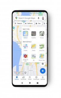
Opening Google Maps and tapping the Layer button right below the profile picture, there should be a new layer called “COVID-19 Info”. It then gives the seven-day average data of new coronavirus cases per 100,000 people next to an arrow revealing whether they are trending up or down with appropriate color coding.
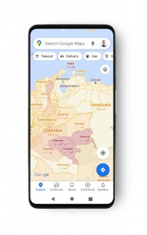
Google Maps interface with COVID-19 Info
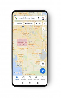
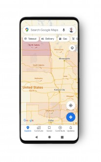
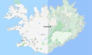
The data is available for all 220 countries and territories Google Maps supports, with detailed info on states, provinces, counties, and cities, where available.
It is gathered from public sources like Johns Hopkins University, the New York Times, and Wikipedia. Google added that this is the same data, showcased in its Search engine, but is now transferred to the Maps app as well.
Related


Reader comments
- Anonymous
- 26 Sep 2020
- myW
Living in the UK and I cannot see the new layer :(
- abigfanoftechs
- 25 Sep 2020
- pYD
You have research to back up your anecdote? Which scientifical journals have you published your data in?
- AnonD-834088
- 24 Sep 2020
- mHe
That's true fella 👍


 Samsung
 Xiaomi
 Sony
Sony Samsung
 OnePlus